11 days from Paro's cultural landmarks — Tiger's Nest, Paro Dzong — to a six-day Himalayan trek beneath Mount Jomolhari. Camp under snow-capped peaks and cross Bonte La at 4,890m, one of Bhutan's highest mountain passes.
Travel from the cultural heart of Paro into one of Bhutan’s most striking high-altitude landscapes.
This 11-day journey combines time in Paro with a six-day Himalayan trek through forests, alpine meadows, yak-herding settlements and remote mountain passes. Before entering the wilderness, you’ll explore some of Paro’s most important cultural and spiritual sites, including Tiger’s Nest Monastery, Paro Dzong, Kyichu Lhakhang and the National Museum.
The trek begins at Shana and follows the Paro Chhu towards the base of Mount Jomolhari. You’ll camp beneath snow-covered peaks, spend a full day acclimatising at Jangothang and cross two high mountain passes, including Bonte La at 4,890 metres, the highest point of the route.
This journey is suited to travellers who want more than a sightseeing holiday. It offers a physically demanding trek, close contact with Bhutan’s mountain environment and time to experience the country at a slower pace.
Duration: 11 days, 10 nights
Destination: Paro and the Jomolhari region
Journey style: Cultural discovery and high-altitude trekking
Highest point: Bonte La, 4,890 m
Trekking duration: 6 days, including one acclimatisation day
Accommodation: Hotel stays in Paro and tented camps during the trek
Physical level: Moderate – Challenging
Best suited to: Active travellers with good fitness and previous hiking experience
Guide: Private English-speaking licensed guide
Meals: Breakfast, lunch and dinner included
From SGD 4,983 per person
Travel on your preferred dates
Elevation: 2,200 m
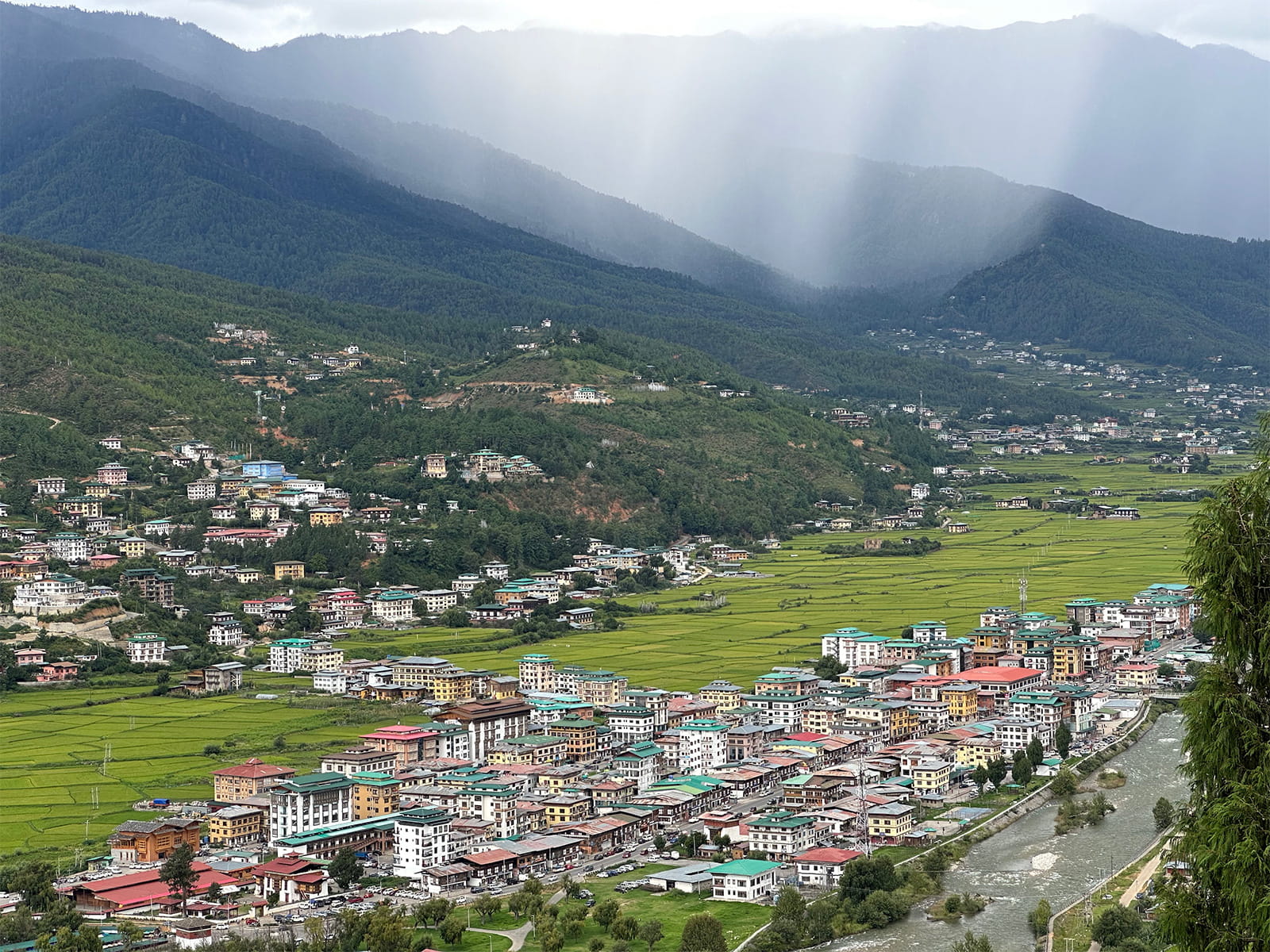
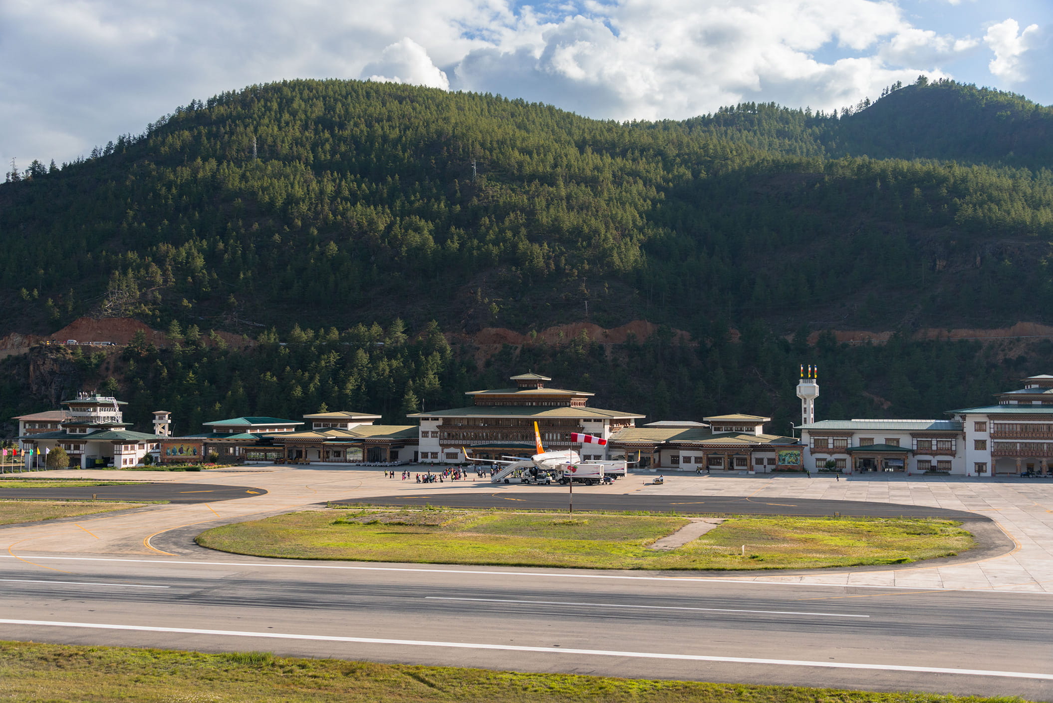
Your journey begins at Paro International Airport, set within a broad valley surrounded by mountains. After clearing immigration and collecting your luggage, meet your guide in the arrival hall and transfer into Paro.
The first day is kept light so you can settle in and begin adjusting to the altitude.
Duration: About 1 hour
Take an easy walk through Paro town and get your first sense of everyday life in Bhutan. Browse traditional shops, look through locally made crafts or stop at a café before returning to your hotel.
The town is small enough to explore without rushing, which makes this a comfortable introduction after your flight.
Drive to a viewpoint above Paro International Airport. From here, you can see the runway, river, fields and surrounding mountains within the same valley.
It is a simple first stop, but it helps you understand the geography of Paro and the mountain landscape that will shape the days ahead.
Elevation: 2,200 m
Today brings together Bhutanese history, architecture and spiritual life. You’ll visit well-known cultural landmarks as well as a quieter cliffside temple complex outside the main town.
Duration: About 1 hour
Set above Paro Dzong, Ta Dzong was built in 1649 as a watchtower overlooking the valley. It later became Bhutan’s National Museum in 1968.
Inside, the museum holds more than 3,000 artefacts covering over 1,500 years of history. The displays include religious objects, textiles, weapons, royal heirlooms and natural history collections.
The circular building is also worth noticing. It was built using stone and timber, without nails, and its position gives you wide views across Paro Valley.
Duration: About 1 hour
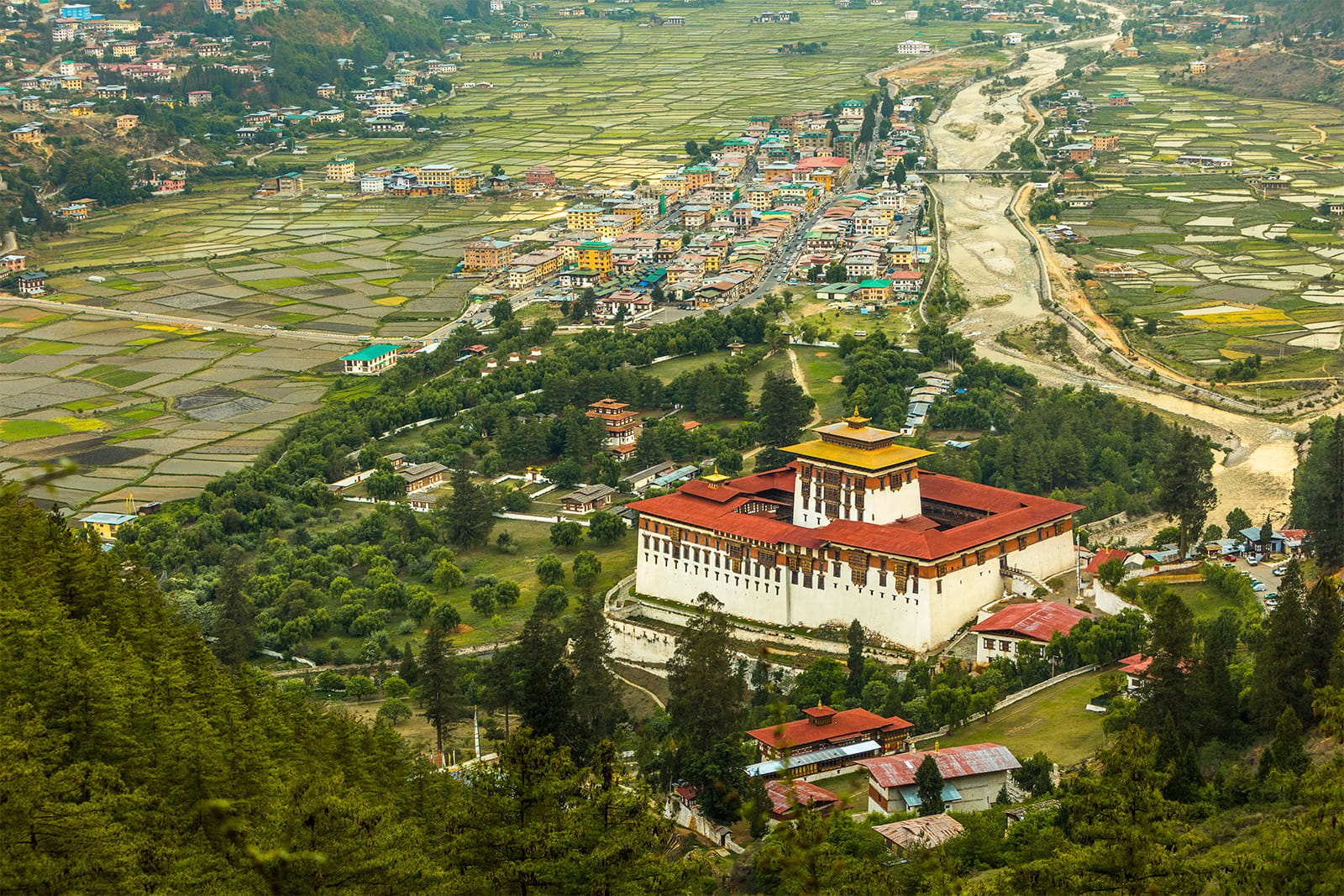
Continue to Paro Dzong, also known as Rinpung Dzong, which means Fortress of a Heap of Jewels.
Built in 1646 on the site of an earlier temple, the dzong has served as both a defensive stronghold and the administrative and monastic centre of Paro. It remains active today and is home to around 200 monks.
Walk through its courtyards and timbered halls while learning how Bhutan’s religious and civic life continue to share the same spaces.
Duration: About 2 hours
Travel towards Dzongdrakha Temple, a cliffside complex near Bondey village that is sometimes called the Mini Tiger’s Nest.
A short walk through pine forest leads to temples and meditation caves built against the rock. The site is quieter than Taktsang and offers open views across the valley.
One of its features is the Adventure Cave, a narrow rocky passage that pilgrims move through as an act connected with purification and rebirth. Participation is optional and depends on personal comfort.
Duration: About 1 hour
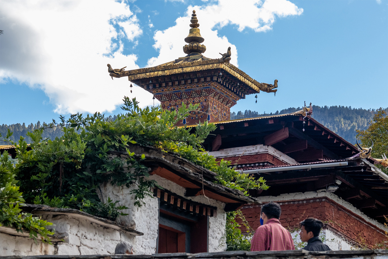
End the day at Kyichu Lhakhang, one of Bhutan’s oldest and most sacred temples.
The temple is believed to have been built in the seventh century by Tibetan Emperor Songtsen Gampo. It has been expanded over time and remains an important place of pilgrimage.
Spend time walking through the temple grounds and observing the daily rituals of visitors and local devotees.
Elevation in Paro: 2,200 m
Monastery elevation: 3,120 m
Activity duration: About 6 hours
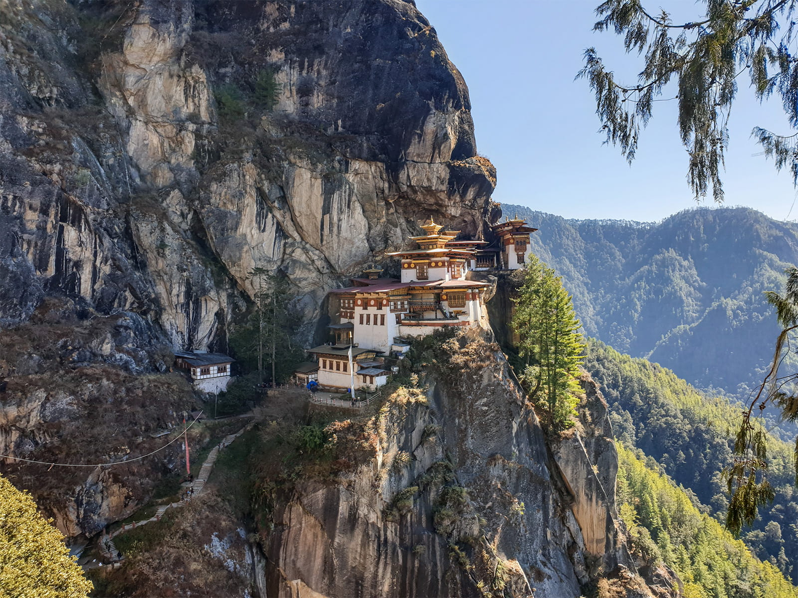
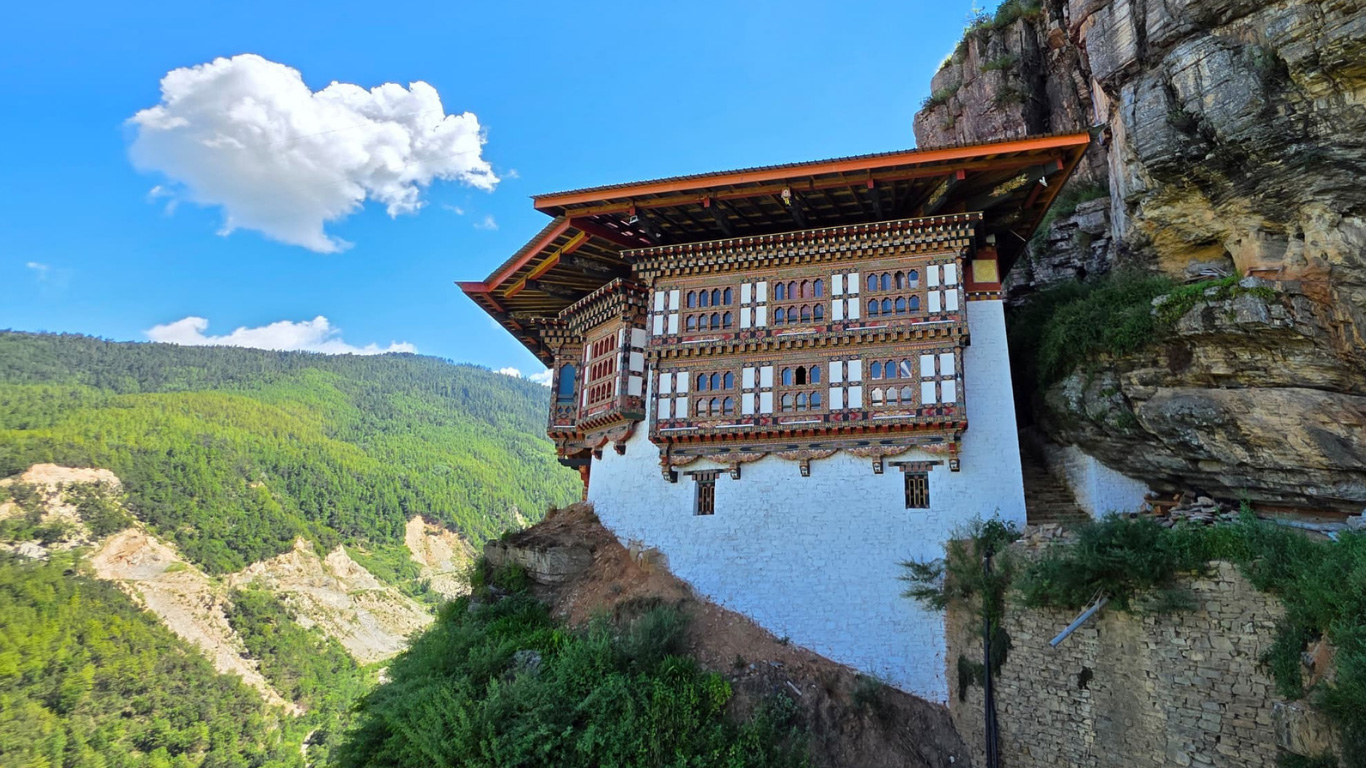
Today you’ll hike to Taktsang Monastery, widely known as Tiger’s Nest.
The monastery stands on a cliff above Paro Valley at 3,120 metres. According to tradition, Guru Padmasambhava reached the site in the eighth century and meditated in a cave that now forms part of the monastery complex.
The ascent usually takes two to three hours, depending on pace and trail conditions. The path climbs through pine forest and passes prayer flags, rest points and several views of the monastery.
After reaching the upper viewpoint, continue down a series of steps and cross a waterfall before making the final climb into the complex. Inside, your guide will introduce you to the temples, meditation spaces and stories connected with the site.
Take your time during the descent and return to Paro in the afternoon.
Duration: About 1 hour
Additional charges apply
After the hike, you may choose a traditional Bhutanese hot stone bath at Zanta Spa.
Heated river stones are used to warm the water, offering a restful way to recover after the climb. The spa also serves a vegetarian menu, available at an additional charge.
Distance: 22 km
Walking time: About 6 to 8 hours
Ascent: 770 m
Descent: 10 m
Camp elevation: 3,610 m
Today marks the start of the Jomolhari trek.
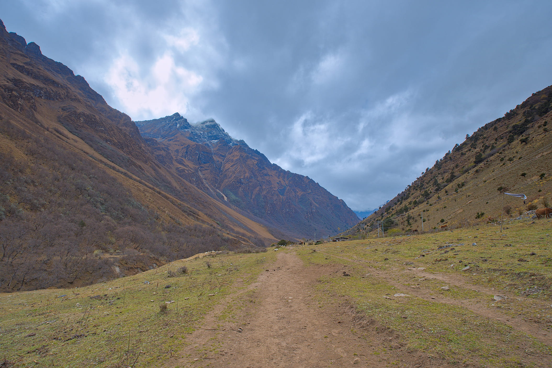
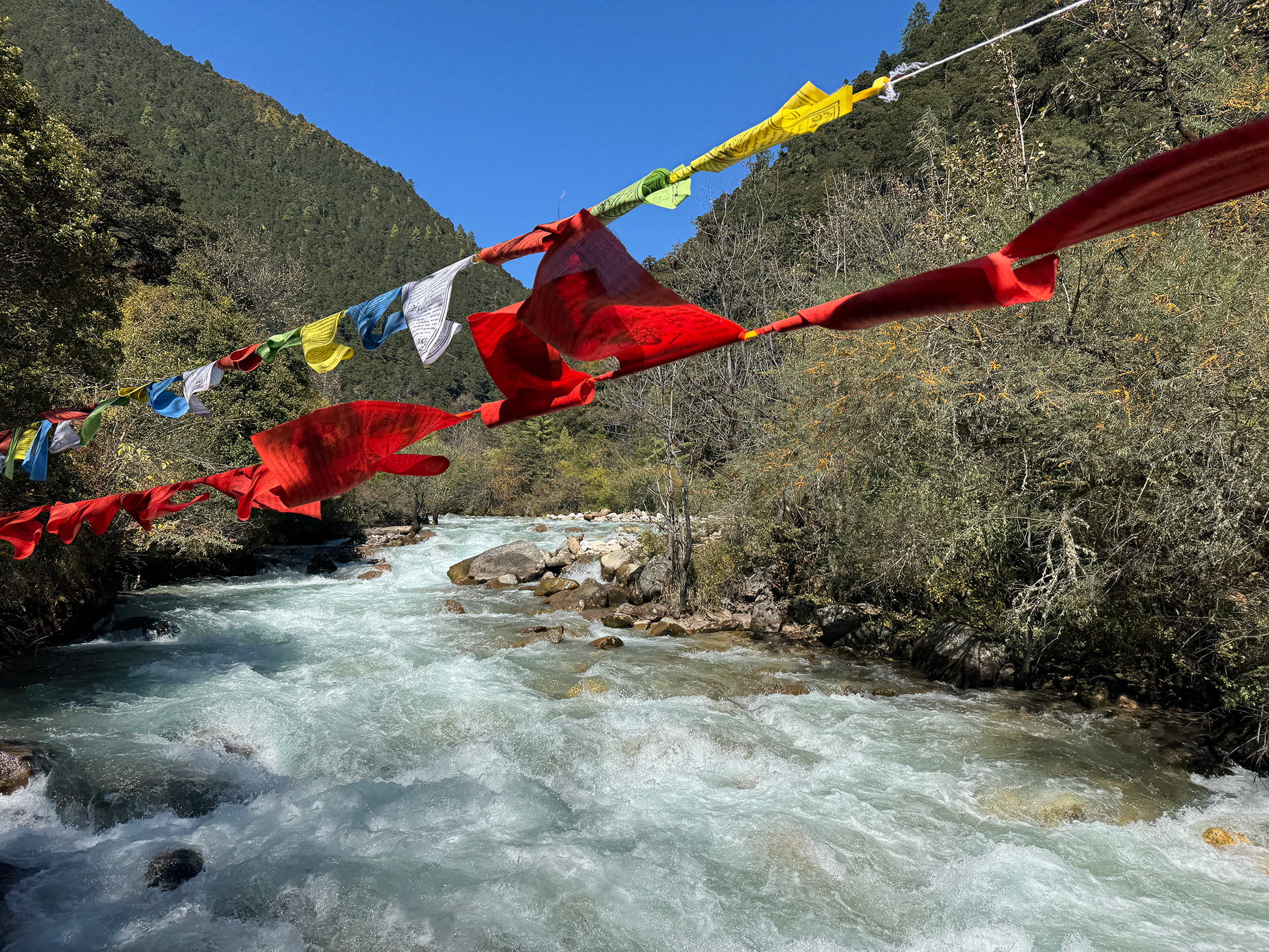
The trail follows the river through thick forest, passing a small number of isolated farmhouses. As you continue up the valley, the surroundings become narrower, steeper and more remote.
The path rises and falls beside the drainage and crosses several traditional wooden bridges. Along the way, you’ll pass a junction where another trail leads towards Tremo La and Tibet. This was once used by Bhutanese traders travelling between the two regions.
By late afternoon, arrive at Thangthangkha and settle into camp in a meadow beside a stone shelter.
When the weather is clear, this may be your first view of Mount Jomolhari.
Walking time: About 5 hours
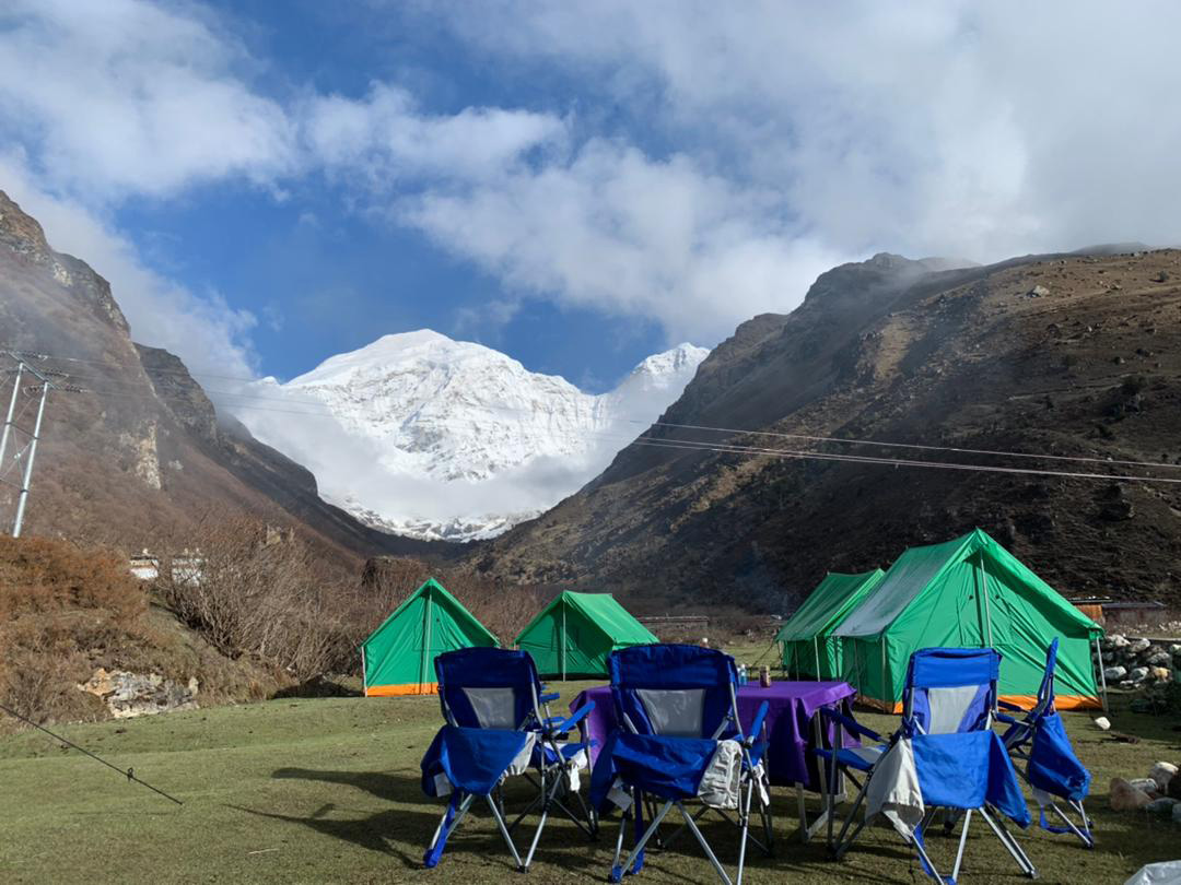
Overnight camp: Jangothang, 4,090 m
If Mount Jomolhari was hidden the previous evening, the early morning may bring another chance to see it.
Continue up the Pachu Valley as the forest gradually becomes thinner and gives way to patches of alpine meadow. The landscape opens to high ridges, snow-covered peaks and broader views across the valley.
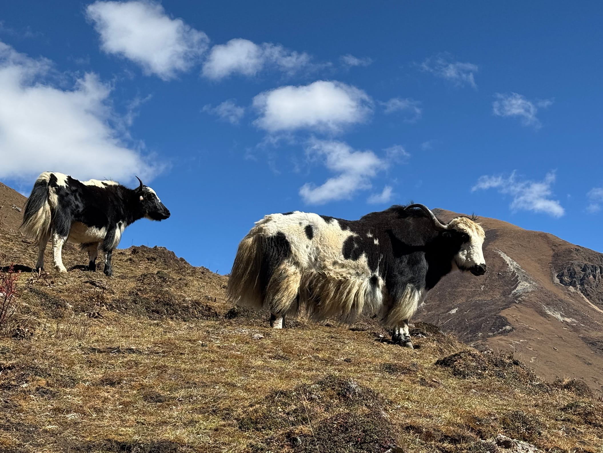
You’ll pass an army outpost before continuing through areas used by yak herders. Yaks, herders’ homes and seasonal settlements become a regular part of the route.
The trail passes the villages of Soe, Takethang and Jangothang before reaching camp.
Jangothang is set at 4,090 metres below Mount Jomolhari and is considered one of the most scenic campsites on the route. After arriving, take the rest of the afternoon slowly and give your body time to adjust to the higher elevation.
Camp elevation: 4,090 m
Today is set aside for rest and acclimatisation before crossing the higher passes.
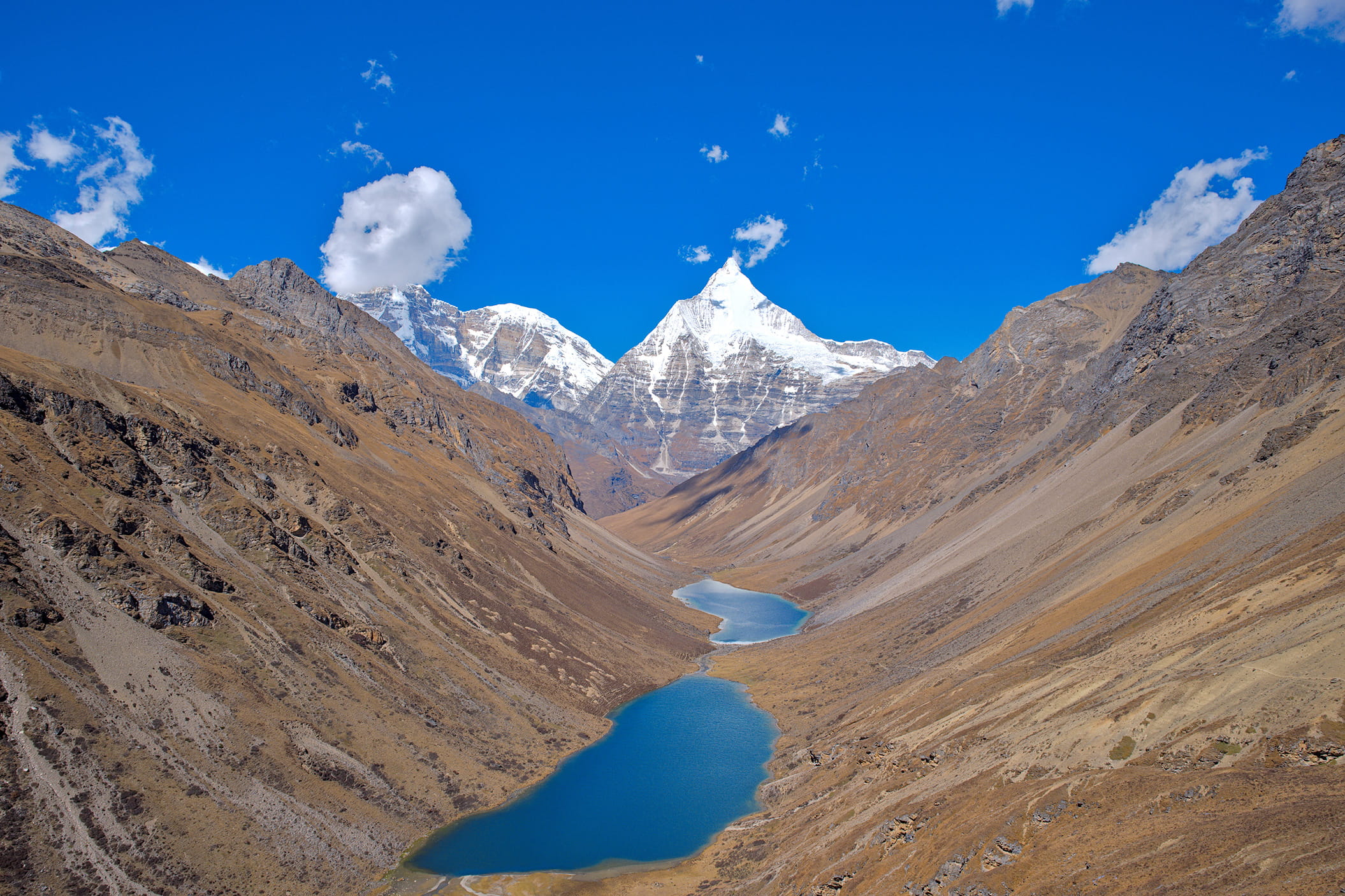
You may remain near camp or take one of several short hikes through the surrounding valley. Possible routes offer views of alpine lakes and peaks including Jomolhari and Jichu Drake.
There may also be opportunities to spot blue sheep on the upper slopes.
Jomolhari and its surrounding mountain chain lie to the west, Jichu Drake rises to the north, and several unclimbed peaks stand to the east.
Your guide will recommend a walk based on the weather, trail conditions and how the group is responding to the altitude.
Distance: 16 km
Walking time: About 6 to 7 hours
Ascent: 810 m
Descent: 1,090 m
Highest point: Bonte La, 4,890 m
Camp elevation: 3,800 m
This is one of the longest and most demanding days of the trek.
Leave Jangothang and continue towards the final settlement in the valley before descending to the Paro Chhu.
The route then passes Tshophu Lake at 4,380 metres. From here, begin the steep climb towards Bonte La.
At 4,890 metres, Bonte La is the highest point of the entire route. The terrain is exposed and conditions can change quickly, so your guide will set a steady pace and allow time for regular breaks.
After crossing the pass, descend towards the Dhumzo Chhu River. Follow the river downstream, passing the small group of houses at Soi Yaksa, also known as Dhumzo, before reaching camp.
Distance: 11 km
Walking time: About 4 to 5 hours
Ascent: 720 m
Descent: 340 m
Highest point: Takhung La, 4,520 m
Camp elevation: 4,180 m
Begin with a climb of around 100 metres over a ridge before descending towards another stream.
After crossing the water, continue upwards towards Takhung La at 4,520 metres. From the pass, descend into the Thombu Shong area.
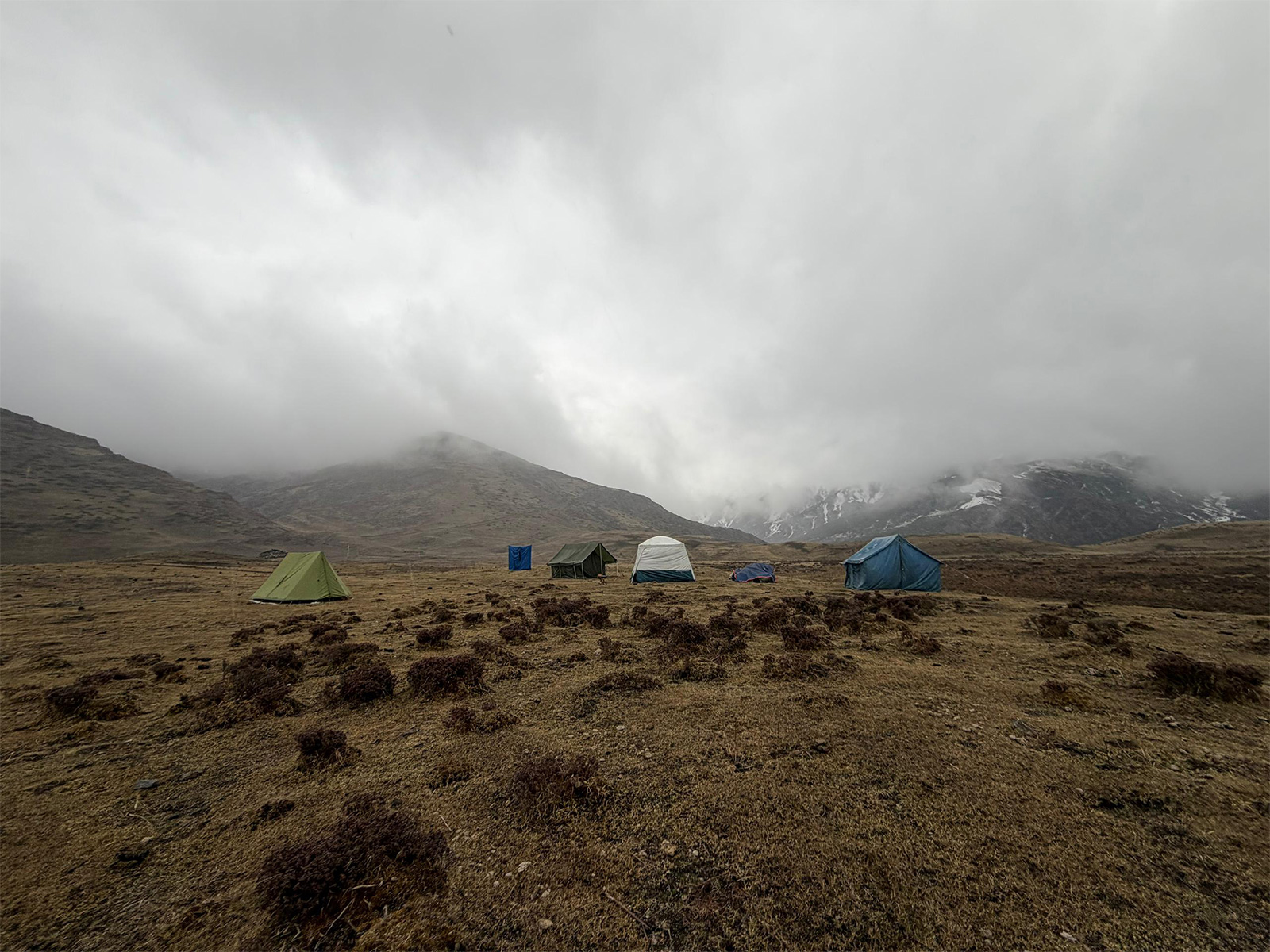
The campsite is set near three yak-herders’ huts at 4,180 metres. The walking day is shorter than Day 7, but the elevation remains high, so the afternoon is kept free for rest.
Distance: 13 km
Walking time: About 4 to 5 hours
Ascent: 200 m
Descent: 1,650 m
Pass: Thombu La, 4,380 m
Final trekking elevation: Gunitsawa, 2,850 m
Your final trekking day begins with the climb to Thombu La at 4,380 metres.
After crossing the pass, begin the long descent towards Gunitsawa. As the elevation drops, the landscape gradually shifts from open mountain terrain towards thicker vegetation and the lower valley.
At Gunitsawa, meet your vehicle and drive back to Paro.
After checking into your hotel, the rest of the day is free. Take time to shower, eat and recover after completing the trek.
Elevation in Paro: 2,200 m
Today is left open for rest in Paro.
You may choose to spend the day at your hotel, explore the town independently or arrange an optional day trip to Thimphu.
Duration: About 1 hour
Visit the Buddha Dordenma at Kuenselphodrang Nature Park, overlooking Thimphu Valley.
The seated statue stands 51.5 metres tall and contains more than 100,000 smaller Buddha statues. The site also gives you a broad view across the city and surrounding hills.
Duration: About 1 hour
Continue to the Cottage and Small Industry Market, a dedicated space for products made and grown in Bhutan.
Browse food, tea, groceries, crafts and other goods produced by Bhutanese entrepreneurs.
Duration: About 1 hour
Visit the National Memorial Chorten, built in 1974 in honour of Bhutan’s Third King.
The chorten remains part of daily spiritual life in Thimphu. Local residents gather here to walk clockwise around the structure, turn prayer wheels and recite prayers.
Inside are murals, mandalas and sculptures illustrating Buddhist teachings.
After breakfast, meet your guide and driver for the transfer to Paro International Airport.
Your guide will assist with your departure arrangements before you check in for your onward flight.
This marks the end of your 11-day Bhutan journey.
This itinerary includes long walking days, steep ascents, major descents and several nights above 3,800 metres.
The highest point is Bonte La at 4,890 metres. Weather and trail conditions may affect walking times, visibility and the daily route.
Travellers should prepare for changing temperatures, basic camp conditions and uneven mountain trails.
Hotel upgrades are available on request at an additional charge.